The County of Montgomery faces several infrastructure challenges that impact the daily lives of its residents. One of the main issues is the need to maintain and upgrade aging roads, bridges, and transportation systems to ensure safe and efficient travel. Additionally, the county’s water and sewer systems require significant investment to ensure reliable and efficient service. The county also faces challenges related to affordable housing and homelessness, which require investment in social services and infrastructure. Finally, the county must address the impacts of climate change, including extreme weather events and flooding, on critical infrastructure, including roads, buildings, and communication networks. Overall, addressing these infrastructure challenges requires significant investment in the county’s transportation, water, housing, and emergency management systems to ensure long-term sustainability and resilience.
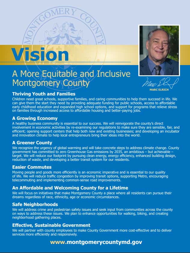
County of Montgomery, Maryland
Population (Year): 1055000 (2021)
Sample Highlights from the Capital Improvement Plan
Project ID
Project Title
Project Start Year
Project Description
Project Spend Total
Page Ref
Project Satus
377947
Tuckerman Lane Sidewalk
2027
“This project provides for design and construction of a sidewalk along the south side of Tuckerman Lane from Gainsborough Road to
the end of the existing sidewalk approximately 380 feet west of Potomac Crest Drive. This project was identified during Facility
Planning of the Tuckerman Lane Bicycle and Pedestrian Improvements as a smaller, more affordable improvement that connects
Churchill High School to an existing sidewalk segment and which can be implemented more quickly than the broader scope
contemplated in the Facility Planning study.”
537000
419
Not Started
377950
US 29 Pedestrian and Bicycle Improvements
2025
“This project funds the design and construction of pedestrian and bicycle improvements to Flash stations along the US 29 corridor. First
and last mile connections to Flash BRT stations along US 29 were identified as part of the US 29 Mobility and Reliability Study effort.
These sub projects would expand and improve the existing pedestrian and bicycle network by filling gaps and upgrading existing
facilities. Potential projects could include new and upgraded crosswalks and pedestrian signals, new and upgraded curb ramps, new and
upgraded sidewalks, and new and upgraded bicycle facilities. Projects that improve ADA access will be prioritized.”
6000000
422
Not Started
378077
“Montgomery County Airpark – Rehabilitate Runway Lighting”
2024
The replacement of the runway lighting system with LED lighting.
850000
614
Not Started
378078
Montgomery County Airpark – Road Relocation
2026
“A tractor-trailer using the road adjacent to the Airpark next to Parcel 28 – Gold’s Gym, and Parcel 29 – Market Tire represents an
obstruction that requires elimination. The road must be relocated to eliminate the problem.”
1250000
616
Not Started
378079
“Montgomery County Airpark Land Acquisition – Leet-Melbrook Property”
2024
“This is a land purchase of property located on Maryland 124, and the expense of relocating the current owner. The property is located
adjacent to the southeast corner of the Airpark property. The Federal Aviation Administration FAA has deemed this purchase
necessary to maintain safety standards at Montgomery County Airpark, Gaithersburg GAI. Parcel 28 – Gold’s Gym”
5000000
618
Not Started
Explore all options available to you!
Citylitics offers access to over 30,000 unique locations across North America through our Capital Projects Dashboard (CPD).
Capital Projects Dashboard (CPD) provides a comprehensive market view of all planned infrastructure spend in one single view with powerful filters such as: population, project value, fiscal year, project status, project description, geography, and more. The dashboard will help identify opportunity hot spots, create data-driven forecasts you can be confident in with bottom-up data for the next 5 years of planned infrastructure spend, and uncover true market needs.
How to Read a Capital Improvement Plan (CIP) for Business Development?
When a city, municipality or state issues a Capital Improvement Plan (CIP), it can be overwhelming and daunting, but there are a few key things you need to investigate. Let’s start with the definition of CIP – A Capital Improvement Plan (CIP) contains all the individual capital projects, equipment purchases, and major studies for a local government; in conjunction with construction and completion schedules, and in consort with financing plans. The plan provides a working blueprint for sustaining and improving the community’s infrastructures. It coordinates strategic planning, financial capacity, and physical development. A CIP stands at the epicenter of a government’s Planning, Public Works, and Finance departments. When a CIP is issued, it typically includes the following information:
- A listing of the capital projects or equipment to be purchased
- The projects ranked in order of preference
- The plan for financing the projects
- A timetable for the construction or completion of the project
- Justification for the project
- Explanation of expenses for the project
Now, for business development, while the capital plan is interesting, the capital program is for capital expenditures that extends five to ten years beyond the capital budget. Knowing the difference is important so you can influence upcoming program versus just responding to an RFP. If reading the CIP makes your head explode, or you want to save time, Request a Demo of Citylitics CIP dashboard with over 20,000 CIPs from USA and Canada. Citylitics has 20,000 plus available CIPs, how can we help you? What states, cities or counties are you looking to improvement your business development, we can assist you in influencing an upcoming RFP versus simply responding to an RFP. Citylitics Capital Projects Dataset is a comprehensive resource for businesses and organizations looking to track and analyze planned infrastructure spend in their area. The dataset offers a range of features and benefits, including:
- Comprehensive Market View: The dataset provides a single view of all planned infrastructure spend, with powerful filters such as population, project value, fiscal year, project status, project description, geography, and more. This allows businesses to gain a comprehensive understanding of the market and identify new opportunities.
- Identify Opportunity Hot Spots: The dataset offers map views and filters that allow users to identify opportunity hot spots where they need to allocate resources. This helps businesses to understand where they should focus their efforts to achieve the best results.
- Create Data-Driven Forecasts: The dataset provides bottom-up data for the next 5 years of planned infrastructure spend, allowing businesses to create data-driven forecasts they can be confident in.
- Uncover True Market Needs: The dataset allows businesses to develop long-term business plans, R&D, and growth initiatives based on true, bottom-up market needs instead of opinions and anecdotes. This helps businesses to make more informed decisions and achieve better results.
With Citylitics Capital Projects Dataset, businesses can gain a deeper understanding of planned infrastructure spend in their area, which can help them to identify new opportunities and make more informed decisions.